Unlocking the Power of Web GIS with TerrAqua UAV's Mapzest Ecosystem
- TerraquaUAV Solutions
- Feb 25
- 3 min read
In a world where location data drives critical decisions, Web GIS platforms have become essential tools across industries. From managing natural resources to responding to disasters, the ability to access, analyze, and act on spatial information in real time shapes outcomes and saves lives. TerrAqua UAV understands this need deeply. That’s why we developed Mapzest, a comprehensive ecosystem of seven specialized platforms designed to harness the full potential of geospatial technology. This blog explores why Web GIS matters today and how Mapzest empowers organizations to work smarter with location data.

Why Web GIS Platforms Matter Today
Web GIS platforms transform raw spatial data into actionable insights accessible anywhere, anytime. Here are five key reasons these platforms are indispensable:
Real-Time Decision Making
Emergencies and fast-changing environments demand instant access to accurate maps and data. Web GIS platforms provide live updates, enabling quick responses in fields like disaster management and urban planning.
Accessibility
Cloud-based GIS removes barriers of specialized software and hardware. Teams across locations and devices can view and share maps, fostering collaboration and transparency.
Resource Management
Managing forests, water, minerals, and farmland requires detailed spatial monitoring. Web GIS integrates satellite, drone, and IoT data to track changes and optimize resource use sustainably.
Disaster Preparedness
Early warning systems and risk assessments rely on layered spatial data. Web GIS platforms help visualize hazards, simulate scenarios, and coordinate emergency responses effectively.
Data-Driven Governance
Governments and organizations use Web GIS to base policies on evidence. Spatial analysis supports zoning, infrastructure development, and environmental protection with clear, data-backed insights.
Introducing Mapzest: TerrAqua UAV’s Geospatial Ecosystem
Mapzest is a suite of platforms tailored to meet diverse geospatial needs. Each platform integrates seamlessly, offering specialized tools that cover everything from flood risk to crop health. Together, they create a powerful ecosystem for managing spatial workflows with precision and ease.
FRAM Engine
Flood risk mapping using drone imagery and elevation data .
FRAM Engine combines high-resolution drone images with terrain models to identify flood-prone areas. This platform supports urban planners and emergency teams by providing detailed, up-to-date flood risk maps that improve preparedness and response.
NRMM Monitoring
NRMM Monitoring gathers data from satellites and ground sensors to monitor forests, water bodies, and mineral sites. It helps conservationists and resource managers detect changes early and make informed decisions to protect ecosystems.
ADSS Intelligence
ADSS Intelligence analyzes multispectral drone and satellite imagery to assess crop conditions. Farmers use this platform to optimize irrigation, detect pests, and increase yields while reducing environmental impact.
Mapzest Go
Mapzest Go offers core GIS functions accessible through a user-friendly web interface. It supports mapping, data visualization, and collaboration for teams needing reliable, flexible spatial tools.
Geo Catalog
Geo Catalog acts as a hub for spatial datasets, making it easy to find, preview, and integrate diverse geospatial information. This platform simplifies data management and accelerates analysis.
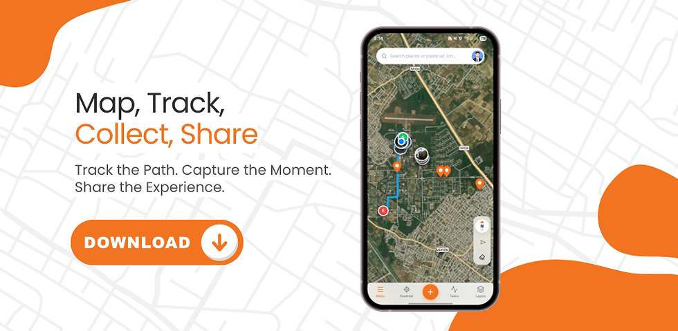
TerraPoint
TerraPoint enables accurate data collection in remote locations without internet access. Field teams capture points, lines, and polygons offline, then sync and verify data in the cloud when connected.
Mapzest Geo Tools
Mapzest Geo Tools provides essential utilities for coordinate conversions, UTM zone calculations, and geodetic computations. It supports surveyors, engineers, and GIS professionals with reliable, easy-to-use tools.
TerrAqua UAV’s Mapzest ecosystem offers a complete solution for organizations that rely on spatial data. Whether managing natural resources, preparing for disasters, or improving agricultural productivity, Mapzest platforms deliver clear, actionable insights. By integrating drone, satellite, IoT, and cloud technologies, Mapzest empowers users to make confident decisions based on accurate, up-to-date location information.


Comments